Soubor:Topographic map example.png
Z Multimediaexpo.cz
Větší rozlišení není k dispozici.
Topographic_map_example.png (rozměr: 600 × 600 pixelů, velikost souboru: 152 kB, MIME typ: image/png)
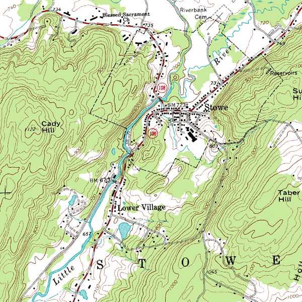
Fotografie + English: An inset from the USGS topographic map of Stowe, Vermont, USA, featuring 20-foot (6.096 m) contour intervals. The scale is 1:24,000.
+ pochází z Wikimedia Commons, kde má status – This image is in the public domain because it contains materials that originally came from the United States Geological Survey, an agency of the United States Department of the Interior.
Historie souboru
Kliknutím na datum a čas se zobrazí tehdejší verze souboru.
| Datum a čas | Náhled | Rozměry | Uživatel | Komentář | |
|---|---|---|---|---|---|
| současná | 30. 7. 2013, 22:55 | | 600×600 (152 kB) | Sysop (diskuse | příspěvky) | (Fotografie + 31 + pochází z Wikimedia Commons, kde má status – ) |
- Editovat tento soubor v externím programu (Více informací najdete v nápovědě pro nastavení.)
Odkazy na soubor
Na soubor odkazují tyto 3 stránky:


