Soubor:South Georgia and the South Sandwich Islands in United Kingdom.png
Z Multimediaexpo.cz
Velikost tohoto náhledu je: 606 × 599 pixelů
Obrázek ve vyšším rozlišení (rozměr: 2 000 × 1 977 pixelů, velikost souboru: 669 kB, MIME typ: image/png)
Mapa + Description:
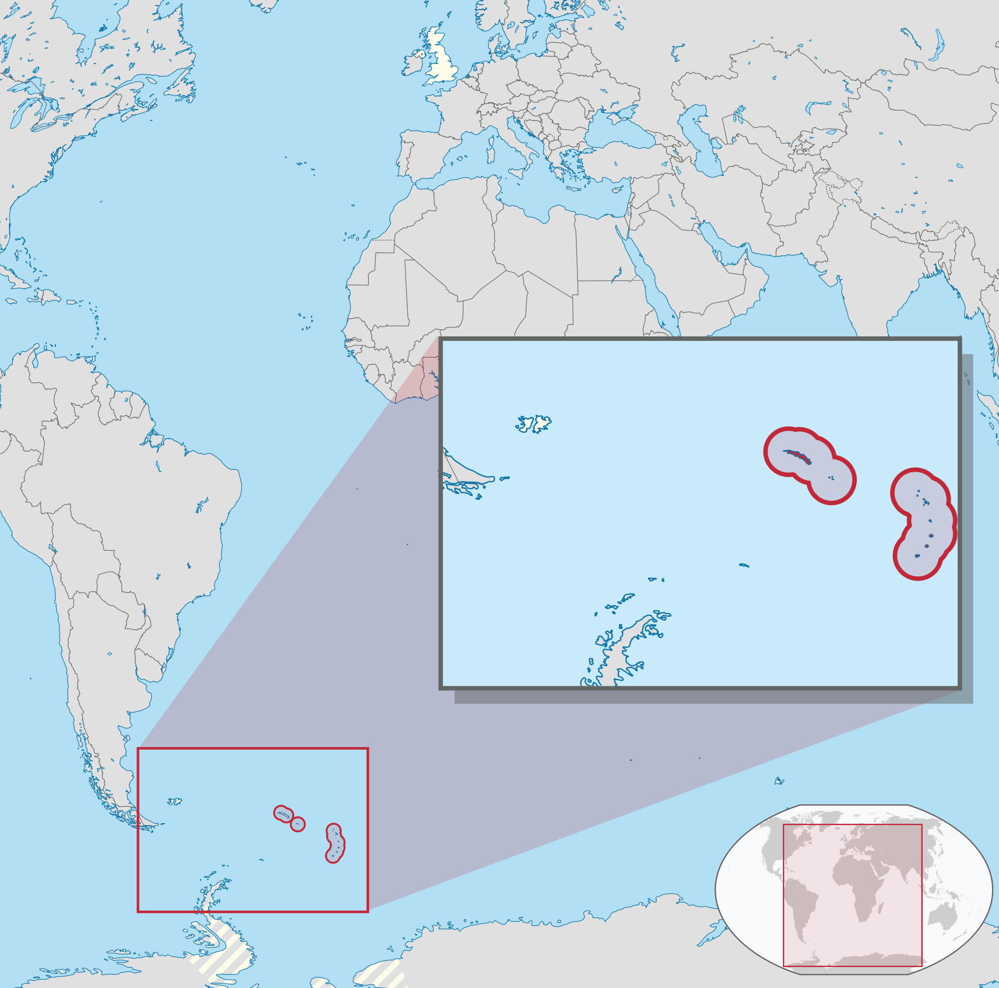
- Deutsch: Lage des Überseegebietes XY (siehe Dateiname) im Vereinigten Königreich.
- English: Location of overseas territory xy (see filename) in the United Kingdom.
- Date: 5 August 2011
- Author: TUBS
+ pochází z Wikimedia Commons, kde má status – This file is licensed under the Creative Commons Attribution-Share Alike 3.0 Unported license. (CC BY-SA 3.0)
Historie souboru
Kliknutím na datum a čas se zobrazí tehdejší verze souboru.
| Datum a čas | Náhled | Rozměry | Uživatel | Komentář | |
|---|---|---|---|---|---|
| současná | 14. 5. 2013, 22:03 | | 2 000×1 977 (669 kB) | Sysop (diskuse | příspěvky) | (Mapa + + pochází z Wikimedia Commons, kde má status – Creative Commons Attribution-Share Alike 3.0 Unported (autor: TUBS). Kategorie:CC fotografie Kategorie:Mapy světa PNG) |
- Editovat tento soubor v externím programu (Více informací najdete v nápovědě pro nastavení.)
Odkazy na soubor
Na soubor odkazuje tato stránka:


