Soubor:Gibraltar map-en.png
Z Multimediaexpo.cz
Velikost tohoto náhledu je: 385 × 598 pixelů
Obrázek ve vyšším rozlišení (rozměr: 2 000 × 3 109 pixelů, velikost souboru: 1,13 MB, MIME typ: image/png)
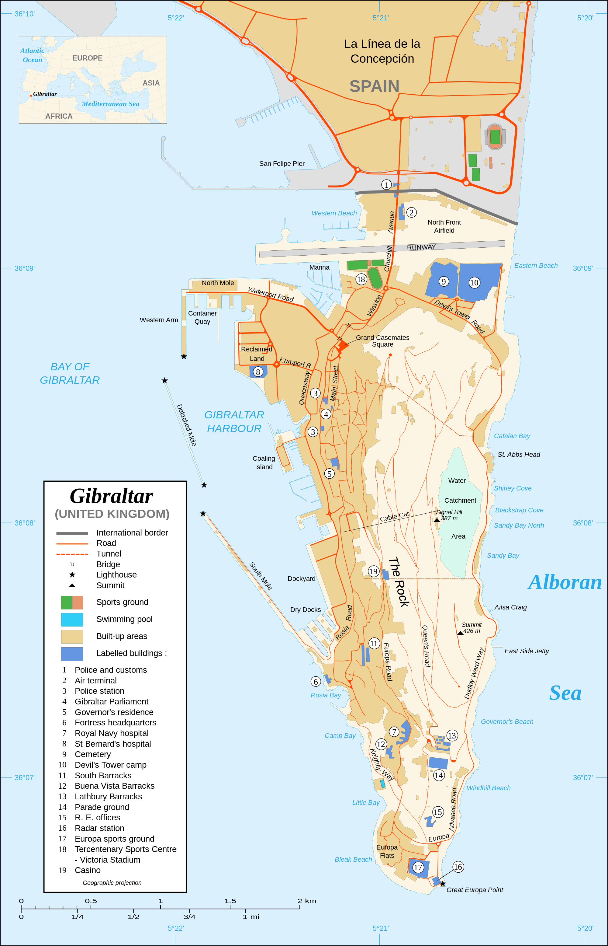
Mapa + English: Map in English of Gibraltar.
- Français: Carte en anglais de Gibraltar ;
- Czech: Mapa ostrova Gibraltar v angličtině.
- Português: Mapa (em Inglês) de Gibraltar.
- Date: November 2007
- Source: Own work ;
- Map created using screenshots of Google Earth satellite imagery from a point of view located at 1.18 km of altitude (available imagery of November 2007) ;
- Other references :
- CIA map ;
- Gibnet map ;
- U.K. MoD map
- Locator map : Image:Blank_map_of_South_Europe_and_North_Africa.svg (modified) created by Historicair ;
- Approximate scale : 1:40,000 (accuracy : about 10 m)
- Note: The roads width is proportional to reality
- Author: Eric Gaba (Sting)
+ pochází z Wikimedia Commons, kde má status – Permission is granted to copy, distribute and/or modify this document under the terms of the GNU Free Documentation License, Version 1.2 or any later version published by the Free Software Foundation; with no Invariant Sections, no Front-Cover Texts, and no Back-Cover Texts.
Historie souboru
Kliknutím na datum a čas se zobrazí tehdejší verze souboru.
| Datum a čas | Náhled | Rozměry | Uživatel | Komentář | |
|---|---|---|---|---|---|
| současná | 10. 4. 2014, 18:01 | | 2 000×3 109 (1,13 MB) | Sysop (diskuse | příspěvky) | (MW1.15-Fotografie) |
- Editovat tento soubor v externím programu (Více informací najdete v nápovědě pro nastavení.)
Odkazy na soubor
Na soubor odkazuje tato stránka:


