Soubor:Cznuts2.png
Z Multimediaexpo.cz
Velikost tohoto náhledu je: 800 × 460 pixelů
Obrázek ve vyšším rozlišení (rozměr: 1 000 × 575 pixelů, velikost souboru: 123 kB, MIME typ: image/png)
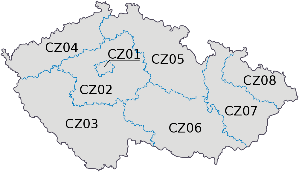
Mapa + English: Map of the Czech Republic as divided into NUTS level 2 areas.
- Author: Pavel Vozenilek
+ pochází z Wikimedia Commons, kde má status – Permission is granted to copy, distribute and/or modify this document under the terms of the GNU Free Documentation License, Version 1.2 or any later version published by the Free Software Foundation; with no Invariant Sections, no Front-Cover Texts, and no Back-Cover Texts.
Historie souboru
Kliknutím na datum a čas se zobrazí tehdejší verze souboru.
| Datum a čas | Náhled | Rozměry | Uživatel | Komentář | |
|---|---|---|---|---|---|
| současná | 24. 3. 2014, 16:18 | | 1 000×575 (123 kB) | Student85 (diskuse | příspěvky) | (MW115FOTO) |
- Editovat tento soubor v externím programu (Více informací najdete v nápovědě pro nastavení.)
Odkazy na soubor
Na soubor odkazují tyto 2 stránky:


